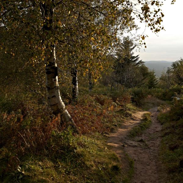
At altitude
Hiking at altitude on the crests of the Vosges. If the peaks are calling you, the paths of the Bruche valley have something to offer you! Whether you want to push your limits or go for a leisurely stroll, open your eyes wide and prepare yourself for an intense encounter with nature.
Sort by
- Start
- Length
- Duration
Refine your search
Length of route (km)
0
155
Cumulative ascent (m)
0
5300
Outdoor stroller circuit D03: towards the Donon
Outdoor stroller circuit D03: towards the Donon
Duration 2h Length 5,8 Km Vertical rise 217 m Difficulty Challenging Departing from Grandfontaine
From the Sentier des Bunkers car park, take to the skies on this route along a tarmac forest road that will take you close to the summit of the Donon.
Themed trail: The Donon, a sacred mountain
Themed trail: The Donon, a sacred mountain
Duration 2h30 min Length 4,2 Km Vertical rise 270 m Difficulty Intermediate Departing from Grandfontaine
Le Donon, qui culmine à 1009m, carrefour entre l’Alsace et la Lorraine, est à la jonction de quatre départements.
Hiking trail D10: Leaving from the Col de Prayé
Hiking trail D10: Leaving from the Col de Prayé
Duration All day Length 16 Km Vertical rise 404 m Difficulty Challenging Departing from Grandfontaine
If you love nature and outdoor adventures, don't miss this 16km hike through a beautiful forest.
Stroller circuit D01 : Starting from Champenay
Stroller circuit D01 : Starting from Champenay
Duration 4h Length 11,6 Km Vertical rise 166 m Difficulty Easy Departing from Grandfontaine
From the Donon platform, explore the southern fortified positions up to the Prayé pass before reaching the Laederich refuge.
Stroller circuit D02 : From the Donon platform to the Roger Laederich refuge
Stroller circuit D02 : From the Donon platform to the Roger Laederich refuge
Duration 1h Length 1 Km Vertical rise 42 m Difficulty Easy Departing from Grandfontaine
This short walk will take you around the mining hamlet of Grandfontaine. Today, calm and serenity have replaced the noise and pollution of yesteryear.
Snowshoe trail D01 : Around the Donon
Snowshoe trail D01 : Around the Donon
Duration 3h Length 7,7 Km Vertical rise 250 m Difficulty Easy Departing from Grandfontaine
With this walk, set off to discover the secrets of the Donon in winter conditions. You will pass by the Druids stone, go around the Donon before returning to your starting point.
Outdoor stroller circuit B01: From Grendelbruch to the Hohbuhl
Outdoor stroller circuit B01: From Grendelbruch to the Hohbuhl
Duration Half-day Length 9,5 Km Vertical rise 254 m Difficulty Challenging Departing from Grendelbruch
Superb circular walk starting from the center of Grendelbruch. Set off from the village heights along the meadows to the Hohbuhl locality.
Snowshoe trail B02 : Around-the-Hohbuhl-from-the-Bruchberg-pass-long-circuit
Snowshoe trail B02 : Around-the-Hohbuhl-from-the-Bruchberg-pass-long-circuit
Duration 4h Length 9,9 Km Vertical rise 204 m Difficulty Easy Departing from Grendelbruch
This pleasant loop walk will take you to the stubble of Schelmeck before continuing towards the Franzluhr pass.
Snowshoe trail B01 : Around-the-Hohbuhl-from-the-Bruchberg-pass-short-circuit
Snowshoe trail B01 : Around-the-Hohbuhl-from-the-Bruchberg-pass-short-circuit
Duration 2h Length 5,9 Km Vertical rise 155 m Difficulty Easy Departing from Grendelbruch
This pleasant loop walk will take you to the stubble of Schelmeck before continuing towards the Birleylaeger pass.
Outdoor stroller circuit CDF02 : The Hauts Evaux tour starting from Salm
Outdoor stroller circuit CDF02 : The Hauts Evaux tour starting from Salm
Duration 1h Length 3,2 Km Vertical rise 28 m Difficulty Easy Departing from Le Hohwald
An unforgettable return trip to the forest? An exceptional panorama of our beautiful mountains? You are in the right place!
Hiking trail B02: The Mutzig Rock and the Porte de Pierre
Hiking trail B02: The Mutzig Rock and the Porte de Pierre
Duration All day Length 16 Km Vertical rise 823 m Difficulty Expert Departing from Lutzelhouse
A lovely hike on the west side of the Bruche Valley. Peaking at 1010m, the Mutzig Rock has incredible views of the valley and surrounding mountains, such as the Donon, Schneeberg and Champ du Feu.
Hiking trail B15: From the Rocher de Mutzig to the two Donons
Hiking trail B15: From the Rocher de Mutzig to the two Donons
Duration 2 days / 1 night Length 34 Km Vertical rise 1092 m Difficulty Expert Departing from Lutzelhouse
A woodland trail on the paths and forest roads around the Côte de Plaine within the Vosges and Alsace with the highlight being the Chatte Pendue peaking at 899m.


